A hike in Saguaro National Park is one of those experiences you’ll never forget. There are plenty of options when it comes to hiking in Saguaro National Park. With a wide of array of lengths, difficulties, and timing, here are the best Saguaro National Park hiking trails!
Pin Me for Later!

Visiting Saguaro National Park is easily one of the best things to do in Tucson, Arizona. Those towering and wild cacti; the jagged red rocks jutting out of the hillside; the purple mountainous backdrop. It’s an incredible place.
I spent a lot of time exploring Arizona while I lived there. Hiking those desert trails and experiencing the unique landscape never got old.
I highly recommend choosing several Saguaro National Park hiking trails to make the most of your visit and to see as much as you can possible see. Keep on scrolling for some of the best trails in Saguaro National Park.
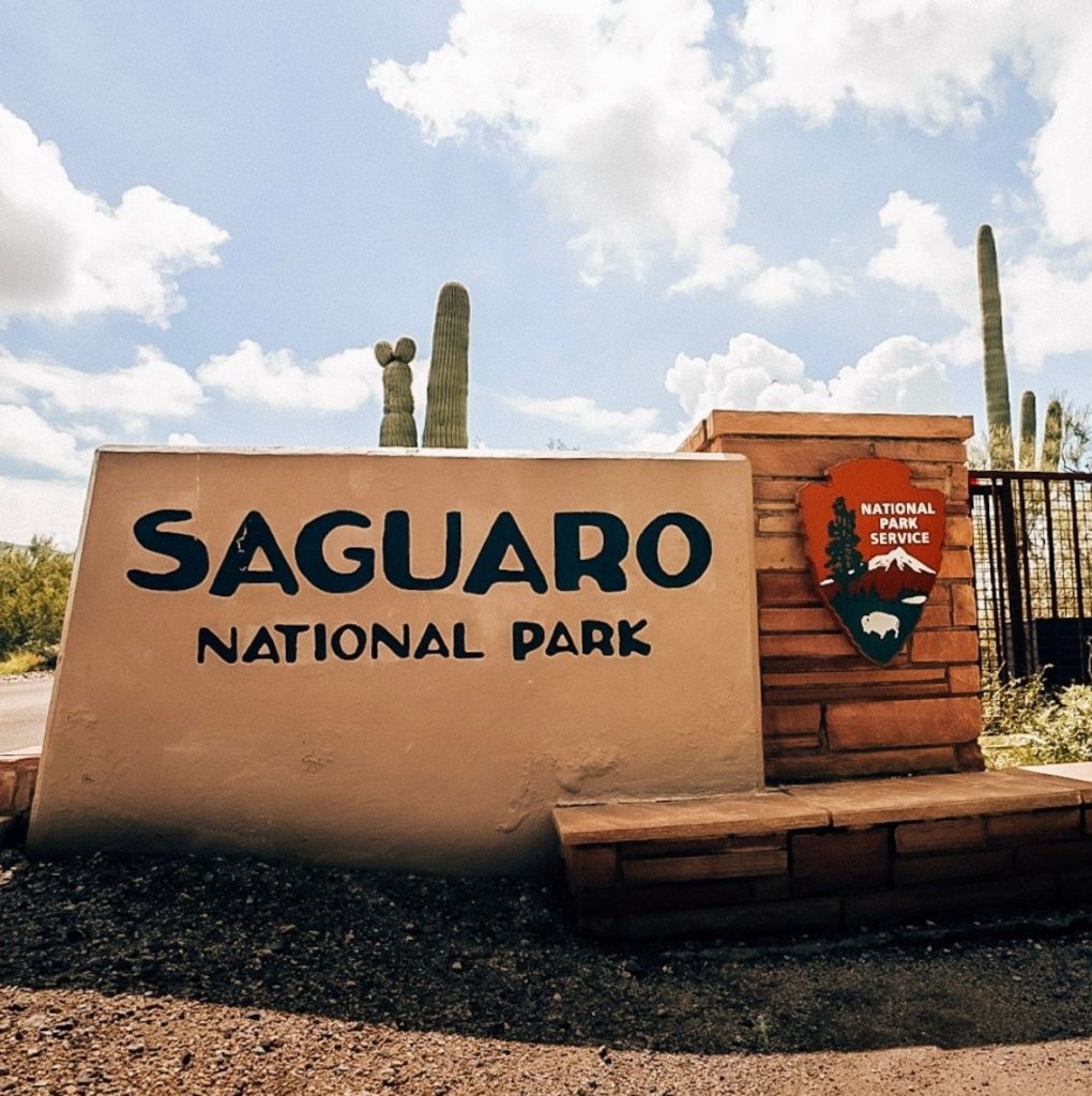
The Best Saguaro National Park Hiking Trails
The first thing to understand about this park is that it is bisected into two halves. The city of Tucson sits in between, separating Saguaro NP West from Saguaro NP East. It will take roughly 30-60 minutes to drive from one to the other, depending on the time of day (and the traffic.)
For additional Saguaro National Park details, such as entry fees, hours, and the best time to visit, check out this post, too!
This list showcases the best trails and viewpoints from both parks. If you have the time, allot one full day to each section: Tucson Mountain District (Saguaro West) and Rincon Mountain District (Saguaro East).
In West, you will see more of the namesake cacti. However, this is the more popular half of the park, so you will also see more humans. In East, you will see colorful red rocks and a more rugged terrain. But, you’ll have more of the trails to yourself, in my experience.
So let’s get to it!
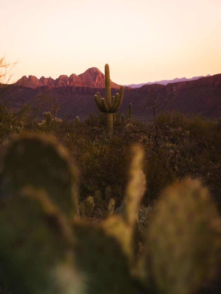
Saguaro National Park West Hiking Trails
One quick word about safety.
Desert hikes are no joke. Please do yourself a potentially life-saving favor and read my posts on both desert hiking essentials for planning and preparation, and desert hiking safety tips for unique considerations to take on any trek through the desert environment.
1. Cactus Garden Trail
Distance: 0.3 miles
Difficulty: Easy
Elevation: 25 feet
Type: Loop
Cactus Garden Trail is super-short, but it’s a great place to start – especially if you stop at the Red Hills Visitor Center to pay your park fee. In less than 1/2 mile, this desert loop showcases many of the cactus species that you’ll see throughout the park.
Additionally, there are signs throughout the loop that identify the flora and fauna of the Sonoran Desert. It’s the perfect introduction to your visit.
2. Wild Dog Trail
Distance: 1.9 miles
Difficulty: Easy
Elevation: 187 feet
Type: Out & Back
Take the well-marked Valley View trail to the Wild Dog trail. Several options shoot off from Valley View, so keep your eye out for trail markers.
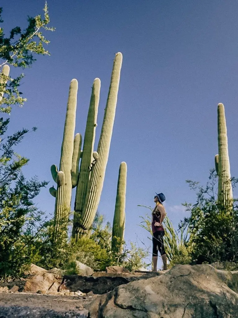
Loads of tall Saguaros line the trail. If you visit in the springtime, the trail is a bright rainbow of cactus blooms and wildflowers. At that time of year, this is easily one of the prettiest hiking trails in Saguaro National Park.
3. Valley View Overlook Trail
Distance: 0.8 miles
Difficulty: Easy
Elevation: 49 feet
Type: Out & Back
Alternately, if you want a good view but with less effort, than this hike is for you. It’s a great option once the sun is getting higher n the sky because it is relatively flat and easy.
Valley View Overlook Trail is unique due to the fact that you’ll be rewarded with a sweeping vantage point across the cactus forest. This park is massive, with over 70% preserved as wilderness.
4. King Canyon / Gould Mine Loop
Distance: 2.4 miles
Difficulty: Moderate
Elevation: 380 feet
Type: Loop
Take the King Canyon Wash Trail to the junction and return via the King Canyon trail.
The Gould Mine Loop has loads of cacti, but there are plenty of loose and exposed rocks and little shade. Watch your step! King Canyon is a nice downhill stretch in the shade at the right time of day.
All in all, a nice moderate hike if you are looking for something a bit more challenging!
5. Desert Discovery Nature Trail
Distance: 0.5 miles
Difficulty: Easy
Elevation: 0 feet
Type: Loop
This trailhead is located in an unassuming spot off of the Bajada Loop Road. This trail is not a showcase of sweeping or spectacular viewpoints, but is instead a short loop for close up exploration.

6. Signal Hill Petroglyphs Trail
Distance: 0.5 miles
Difficulty: Easy
Elevation: o / negligible feet
Type: Out & Back
Off of the Bajada Loop Drive, this hike is more of a short walk to the top of Signal Hill. What makes it worth the stop, though, are the several dozens intricate petroglyphs carved into the rocks by the Hohokam people.
Though the exact meaning of the carvings are unknown, their origin is over 500 years old, from between 450 to 1450AD. For minimal effort, hikers will get a very beautiful viewpoint and a chance to view these petroglyphs.
7. Sendero Esperanza Trail to the Ridge/ To Wasson Peak
Distance: 3.4 – 8 miles, depending on route
Difficulty: Moderate to Difficult
Elevation: up to 1400 feet
Type: Out & Back
For a long and strenuous trek, this is the best of all the difficult Saguaro National Park hiking trails in the West section. Why? Because hikers will reach the highest point of the Saguaro National Park West at 4,687 feet.
Take the Sendero-Esperanza Trail to the Hugh Norris Trail junction on the ridgeline. The hike begins relatively flat, but after about a mile, it winds through switch backs as you ascend the ridge.
Panoramic scenes of the valley below are a treat for your eyes. It is definitely a bit of work to make it to Wasson Peak, but it’s worth it due to the incredible scenery!
Saguaro National Park East Hiking Trails
1. Mica View
Distance: 3.7 miles
Difficulty: Easy
Elevation: 121 feet
Type: Loop
Just off of the main Cactus Forest Loop Drive sits the Mica View Picnic Area. This is your gateway onto the Mica View Loop trail, which I consider to be one of the best Saguaro National Park hiking trails in terms of impressive and cactus-filled views.
Thousands of cacti, from saguaros to chollas to ocotillos line the path. There is so much nature crammed into these 3.7 miles that I’d call this one a must-see.
2. Desert Ecology Trail
Distance: 0.3 miles
Difficulty: Easy
Elevation: 0 feet
Type: Loop
The loop is shorter, the cacti are smaller, and the views are more limited. So why would I add this trail to the mix?
Informational plaques line the paved hike and this trail is wheelchair accessible. You will learn all about the desert ecosystem on this trail. Though the desert gets a bad reputation for being dry and barren, there are loads of creatures that rely on this landscape for their livelihood.
3. Javelina Rocks Overlook
Distance: Varies
Difficulty: Moderate
Elevation: Varies
Type: Out & Back
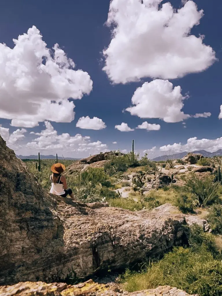
The Javelina Rocks Overlook is located between the six and seven mile points on Cactus Forest Loop Drive. While this is technically a viewpoint, several unnamed trails just off out and around the rocks.
The landscape is remarkably different here, which makes it a worthy stop for some exploration. Ancient granite rises up between the tall saguaros. If you’re lucky, you may spot javelinas, lizards, and rattlesnakes.
4. Freeman Homestead Trail
Distance: 1.1 miles
Difficulty: Easy
Elevation: 108 feet
Type: Loop
The Freeman Homestead Trail is a just-over-one-mile trail located at the southern end of the Cactus Forest Loop Drive.
This hike showcases one of the first residences built in the area by the Freeman family. Honestly all that’s left are ruins, and the saguaro-dotted landscape is just as – if not more – interesting.
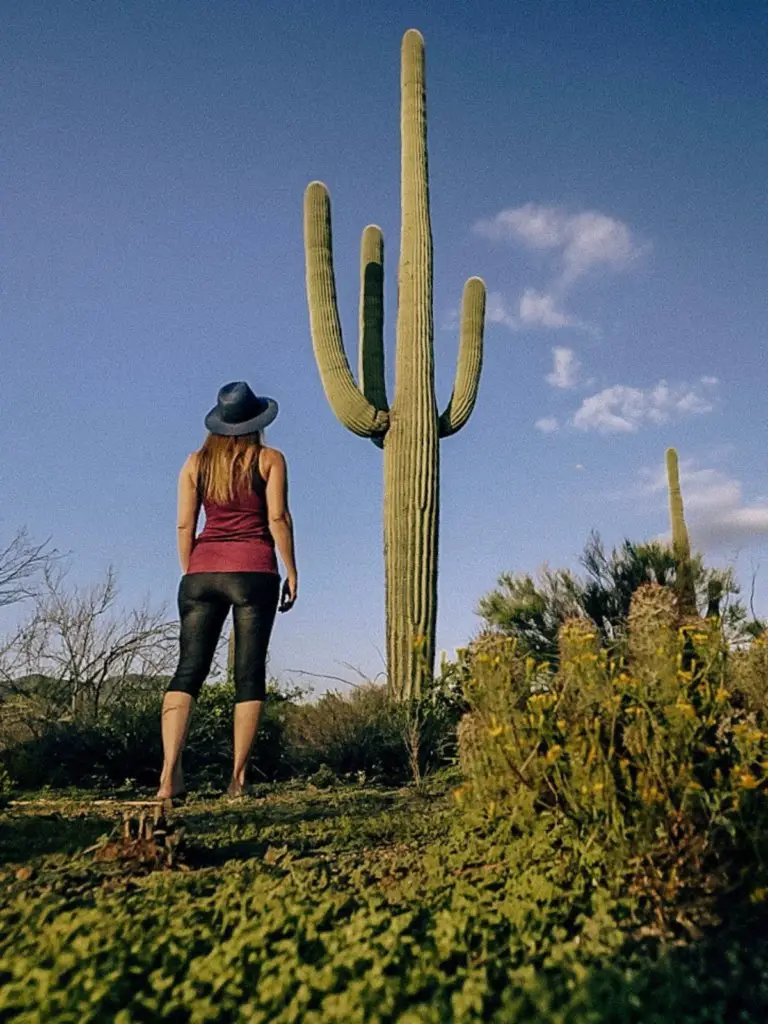
5. Bridal Wreath Falls
Distance: 5.7 miles
Difficulty: Moderate
Elevation: 1095 feet
Type: Out & Back
If you didn’t gather this by the name of the trail, this hike will take you to a waterfall in the desert.
In the northern section of Saguaro East, the Douglas Springs trailhead provides access to several hikes of varying length and difficulty. Bridal Wreath Falls is easily one of the best hiking trails in Saguaro National Park East.
Be aware that in summer months, the waterfall can be dry. Best to go after a rainfall to see it in all it’s glory.
Need additional Saguaro National Park information? Check out this post.
Downloadable maps and brochures can be found here.
***
There are definitely plenty of options when it comes to Saguaro National Park hiking trails. The above options are some of my favorites that offer a wide of array of lengths, difficulties, and timing.
Let me know how your hikes go below! I hope you enjoy hiking in Saguaro National Park as much as I do.
Explore More National & State Parks in the Southwest!
California Parks:
- One Day in Death Valley: What Not To Miss!
- Joshua Tree to Death Valley: A 7 Day Itinerary
- National Parks Near Los Angeles
- One Day in Joshua Tree National Park
- The Best Hikes in Joshua Tree National Park
- The Best Joshua Tree Sunrise Hikes and Locations
- The Best Joshua Tree National Park Photo Spots
- All About the Joshua Tree: A Mojave Desert Staple
- 10 Tips for Visiting Joshua Tree National Park
- Five Drawbacks of Visiting Joshua Tree National Park
- Red Rock Canyon State Park, CA: Desert Hiking and Camping
- A Complete Guide to Anza Borrego Desert State Park
- Anza Borrego Desert State Park Hikes You Cannot Miss!
- Visiting Vasquez Rocks Natural Area Park
- The Mojave National Preserve: Things to Do and See
- A Complete Guide to Visiting Sequoia National Park
- Things to Do in Sequoia National Park
Arizona Parks:
Nevada Parks:
- Valley of Fire State Park Nevada: A Complete Guide
- Hiking the Fire Wave Trail
- National Parks Near Las Vegas
Other Park Resources:
Pin Me for Later!

- 10 Things to Know Before Visiting the Sheik Zayed Grand Mosque
- Solo Female Travel in the Middle East – Is it Safe?
- 30 Most Beautiful Places in the Middle East You NEED To See
- 10 Interesting Facts About Afghanistan, From Someone Who Has Traveled There
- 10 Best Beaches in Muscat, Oman: The Ultimate Guide




Leave a Reply